


They show the scenery and environment on a 4 km return hike in Norman's Reserve, along the Yarra River, Warrandyte State Park, 20 km east of central Melbourne.
My walk started at the Norman's Reserve Picnic Ground, at the end of Bradley's Lane, reached from the Warranyte-Research Rd.
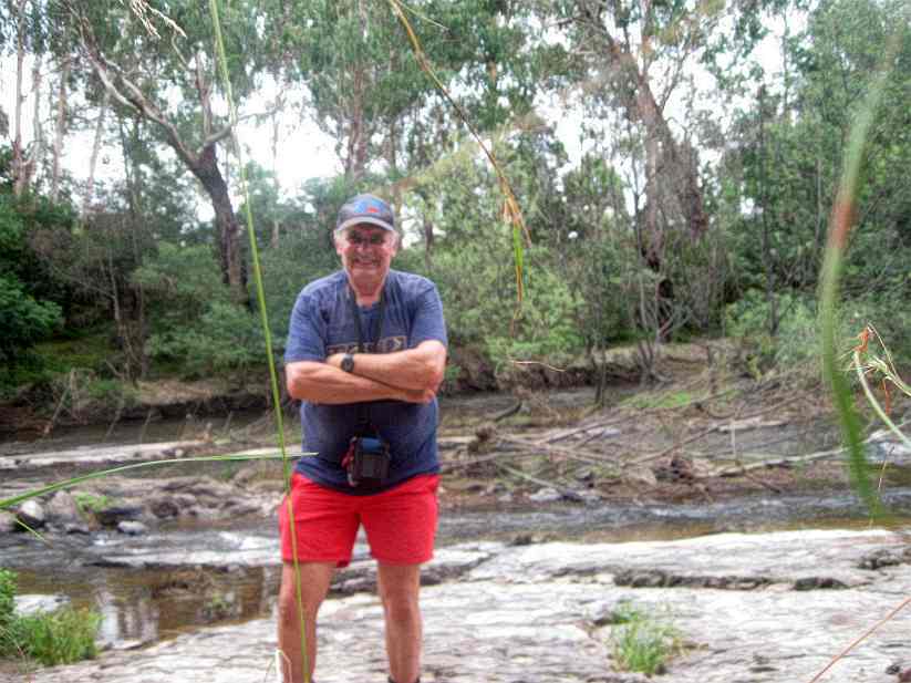
The track follows the Yarra, reaching the Pound Bend Rapids, directly opposite the Parks Victoria regional depot.
There is a rich diversity of birds in this area.
The last section of the track is overgrown with blackberries, stinging nettles, and fallen trees, and care is needed.
I was attacked by stinging nettles on my leg and arm.
Norman's Reserve Picnic Ground is opposite the Pound Bend Tunnel and the Yarra at that point is good for swimming.
See all of the Photos of this trip, which was in 35 degrees heat and 80% humidity!