

These pix were taken on October 1, 2012, on a 5 km hike along the Main Yarra Trail, Lower Plenty, 15 km east of central Melbourne.
I started at the main car park at Finn's Reserve, Lower Templestowe, next to the Yarra, crossed the rover on the suspension bridge, where I joined the Main Yarra Trail, which at this point is in the municipality of Lower Plenty.


This section of the Trail is also shown on some early maps as Cleveland Avenue, a designation which was used for public vehicle access prior to the Trail being constructed.
On the opposite bank was Birrarrung Park.
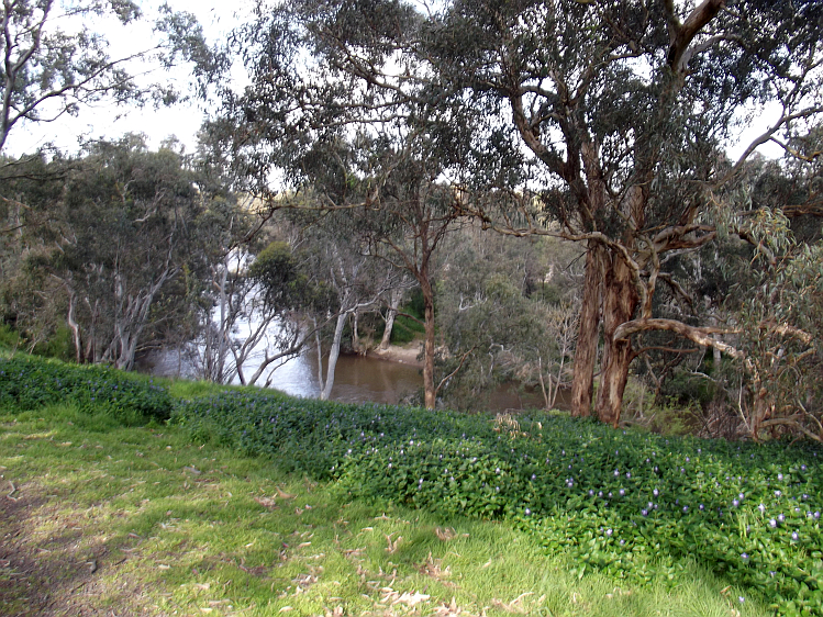
Travelling west along the Trail provided nice views of the Yarra, up and down hills and along flat stretches, with the city skyline towers visible in the distance.
The Trail reached the end of Bond's Rd, then passed under the Transmission Lines, adjacent to farming land, with the radio towers of some of Melbourne's commercial medium frequency AM broadcasters visible to the north, in the suburb of Viewbank.
The trail then crossed a dried-up creek at a bridge, then continued on to the junction with the Plenty River Trail, my turnaround point.
This shared Trail is popular with hikers, cyclists, prams, hounds, and care is needed to avoid riders dressed in black Spiderman gear, many of whom who seem unwilling to sound their warning bells when about to overtake pedestrians.
Click here to see the full set of pictures as a Slideshow, with music.
No comments:
Post a Comment