Readers who reside, lived, worked, grew up or attended school or college in
Kew, Hawthorn, Abbotsford, Fairfield, or Clifton Hill, may be particularly
interested in my new free on-line Pictorial Heritage Research project
“The History of the Yarra Bend Park – 1877 to
2015” which has now been published.
This comprehensive work traces the origins and history of the wonderful 260
hectare Park, proclaimed in 1877, only 4 km from the Melbourne CBD.
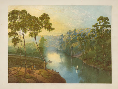
The Project, of 32 chapters, is liberally illustrated with photographs,
links to videos, maps, engravings, paintings, charts and plans. Many
contemporary images from my own explorations of the Park during 2015 are
included.
It is designed for viewing online – it cannot be copied to a local device,
and is created using HTML5 coding. It will display on all modern browsers and is
optimised for viewing on Smartphones.
Chapters include: Indigenous Heritage, Early Exploration of the Yarra,
European Settlement, Geology, Biodiversity, Ecology, Studley Park Boatsheds,
Fairfield Pipe Bridge, Dight's Falls Park, Dight's Falls Pumping Station, Yarra
Crossings/Punts/Bridges, Wurundjeri Spur, Lookouts, Kew Fish Hatcheries, Kew
Reservoir, Yarra Bend and Studley Park Golf Courses, Galatea Point, Flying Fox
Colony, Studley Park Rd, Yarra Boulevard, Eastern Freeway, Lookouts, Sporting
Facilities, Deep Rock Swimming Pool, International Fly Fishing Pond, Fairfield
and Kew Asylums, Main Yarra and Merri Creek Trail, the Labrynth and Wishing
Tree.


No comments:
Post a Comment