
Pictures:
Top - The foot-track over Bingley Hill
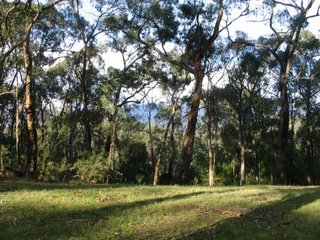
Bottom - View from the Track near the junction with Road 20
On July 23 2006 I walked the sector of the Mt. St Leonard Track, north of Healesville, extending from Donnelley's' Weir to a point about 3 km to the north. This follows a gated management track known as "Road 11" which ends up near the Mt. St. Leonard summit, 12 km from the Weir.
This offers limited views to the east and west due to extensive forest regrowth, and passes through pleasant timber country bordering the Maroondah catchment area.
A short diversion up and over a steep foot-track to Bingley Hill provides better views towards Healesville.
At another time I will do the complete walk!
The photo album is at
http://worldisround.com/articles/306874/index.html

No comments:
Post a Comment