


From the gate just off the Tonimbuk to Genmbrook Rd, my hike took me up the Steering Wheel Spur fireline track to the top of the Black Snake Ridge, to Burgess Track,and returned the same way, about 4 km total.
This track is the most westerly of several former logging routes starting at the Black Snake Range Ridge and ending at the Diamond Creek valley.
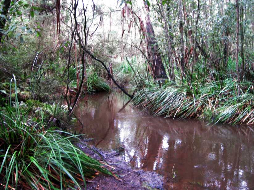
The first section of the Track is relatively flat, along the Diamond Creek Gully, but soon becomes a very steep slog in the mud, with an elevation change from 124 m to 301 m.
This track is listed by Parks Vic as "Category 5D MWB - dry weather, earthern track formed from natural materials"
Near the top, the track divides, with the main route ascending an almost vertical gradient (!) and an easier walking route which follows a series of S-bends.
The Track is also used by horseriders, and a loop known locally as the Bridle Track continues easterly along the ridge-line, eventually reaching the Gembrook-Tonimbuk Rd adjacent to private property.
This track is through former logging country, an area subject to many bushfires. There are limited views from the top.
There is a Melbourne Water Aqueduct running from the Bunyip River Weir through the Park, and public access is not permitted. This is part of the Drouin Water Catchment Area, and starts outside the northern boundary of the Park in the Yarra State Forest, near the Bunyip Ridge, an area which was devastated by the February 2009 bushfires.
The Bunyip SP Management Plan suggests that the Aqueduct Maintenance Road be opened up for use by walkers.
It ends at Jolley Rd.
Another Melbourne Aqueduct may be seen at the junction of the Gembrook-Tonimbuk Rd and Topp Rd, where it disappears into an undergound syphon for some 750 m, and emerges again at the foothills of nearby Mt Cannibal. This Aqueduct once carried water from the Tarago Catchment to the former Beaconsfield Reservoir.
See all of the Photos of this exploration!
No comments:
Post a Comment