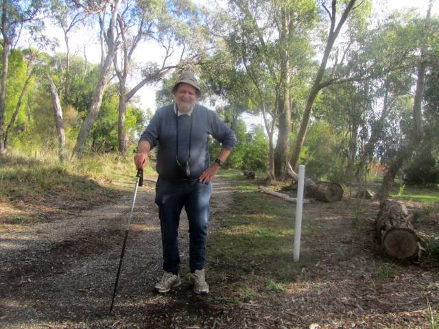
This delightful remnant bushland is located on part of the proposed Healesville Freeway, planned decades ago but now abandoned. It's owned by Parks Victoria, managed by Casey Council, and declared as a Significant Conservation Area.
The Freeway was to start at Springvale Road at the border of Forest Hill and
Vermont South, then head east intersecting EastLink with a
full freeway junction. It would then head north east, finally joining
Mooroolbark Road and terminating at Maroondah Highway at the border of
Mooroolbark and Lilydale, linking up with the proposed Lilydale Bypass.
The Bushland is reached from Wantirna Rd, then along Bateman St and has several walking tracks .
Remains of old asphalt and brick pavement are visible on the main track. An "Auburn" brick was seen, believed to have been manufactured at the Auburn Brickworks in East Hawthorn, which operated from 1909 until the 1950s. The Brickworks site is now the John Gardiner Reserve.
Remains of old asphalt and brick pavement are visible on the main track. An "Auburn" brick was seen, believed to have been manufactured at the Auburn Brickworks in East Hawthorn, which operated from 1909 until the 1950s. The Brickworks site is now the John Gardiner Reserve.
My visit was on May 12, 2018.


Howdy Bob, a lovely bit of remaining bushland here, getting pretty close to houses too! Thanks for sharing and best regards! Michael
ReplyDelete