Rotating Headlines from this Weblog! Click to view Post!

Rotating Headlines

Join this Weblog!

To become a Follower of this Weblog.
Click on the "Follow" link, underneath the list of current followers. You will be taken to an information panel where you may enter your personal details and other information. When completed, the title of this Weblog will appear in the Reading List on your Blogger Dashboard, and your Profile Picture will be displayed next to other Followers!

Followers to my Weblog!

Showing posts with label goldmining. Show all posts

Tuesday, May 29, 2012

Warrandyte SP - Fidler Gully Circuit Track


These pix were taken on May 28, 2012, in the Warrandyte State Park, 15 km east of central Melbourne.
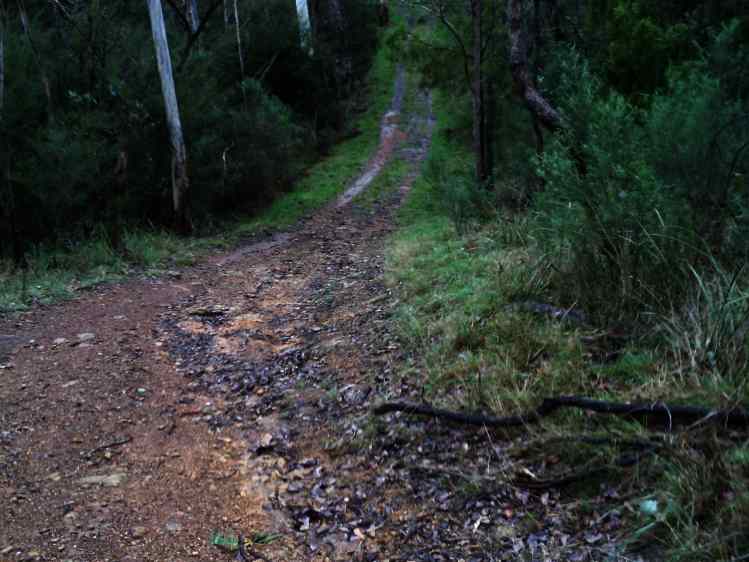

They show the scenery and environment on a 3 km hike, along the Fidler Gully Track, Dead End Track, Wildcat Link Track, and Web St.


This area is within the Heritage Goldmining Precinct, and relics of old diggings may be seen.


There is an old sluice channel in the bush near Dead End Track.

See the Slide Show of all of the photos!

Monday, May 28, 2012

Yarra River Tunnels at Reefton

These pix were taken on May 27 2012 on an exploration to the Little Peninsula and Big Peninsula Tunnels on the Yarra River, near Reefton, on the Woods Point Rd, 80 km east of Melbourne.

Visit my Slide Show, with audio!


Friday, April 20, 2012

Warrandyte State Park - Pigtail Track

These pix were taken on April 17 2012 in the Warrandyte State Park, 15 km east of central Melbourne.

They show the scenery and environment along the Pigtail Track, passing through the old gold mining precinct on Fifth Hill.

See all of the Photos of my visit,and my YouTube video!

Saturday, January 14, 2012

Exploring South Hill, Warrandyte State Park

These pix were taken on January 12, 2012, in South Hill, Warrandyte State Park, 20 km east of central Melbourne.

My 2 km circuit hike started at the junction of Webb Street, then down along Pigtail Track, then on to the Pigtail Gully, and on to South Hill Track, then back to Webb St.

This section of the Park is part of the historical Pigtail Mine, of the late 1890s, and many mullock heaps, channels and tailings remain.

Some colorful summer wildflowers were in bloom.


See the Slideshow with all of the Photos of my visit, and the YouTube Video (above)!

Monday, September 26, 2011

Black Flat Hike - Warrandyte State Park


These pix were taken on September 17, 2011, in the Black Flat Section of the Warrandyte State Park, 20 km east of central Melbourne.

Black Flat was once an alluvial goldmining area in the 1880s; little of this remains, except mullock heaps, tailings, and a few fenced-in shafts.

My 4 km circuit hike started at the small carpark off Tills Rd, reaching Davis Rd at the eastern boundary of Black Flat.

Fuel reduction burning has been made recently in this area of the land.

See all of the Photos of my visit!