Rotating Headlines from this Weblog! Click to view Post!

Rotating Headlines

Join this Weblog!

To become a Follower of this Weblog.
Click on the "Follow" link, underneath the list of current followers. You will be taken to an information panel where you may enter your personal details and other information. When completed, the title of this Weblog will appear in the Reading List on your Blogger Dashboard, and your Profile Picture will be displayed next to other Followers!

Followers to my Weblog!

Showing posts with label Warrandyte SP. Show all posts

Saturday, October 19, 2013

Stane Brae Section of the Warrandyte State Park.

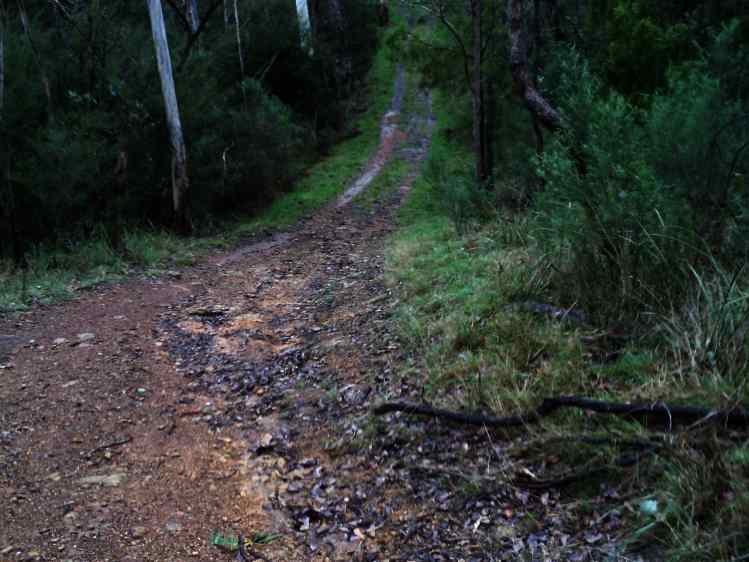
Pix of October 18 2013 in the remote Stane Brae Section of the Warrandyte State Park.


This was a 5 km (return) hike, starting at the Jumping Creek Picnic Ground.


The kangas are usually here, but unsighted today - probably in the forest where it is cooler - about 27 degrees on the Track!


Click here to see all of the Photos of my visit, in Static or Slide Show format!

Below is the 3D Flyover of my route! Elevation change of 100 metres!

Tuesday, October 01, 2013

Old gold-diggings area, South Hill, Warrandyte State Park


Pix of Sep 30 2013 on a short hike in the old gold diggings area, South Hill, Warrandyte SP.


I am disturbed - no gold at all - but plenty of quartz rocks!


Click here to see a Slideshow of all of the Photos of my visit!

Tuesday, May 29, 2012

Warrandyte SP - Fidler Gully Circuit Track


These pix were taken on May 28, 2012, in the Warrandyte State Park, 15 km east of central Melbourne.


They show the scenery and environment on a 3 km hike, along the Fidler Gully Track, Dead End Track, Wildcat Link Track, and Web St.


This area is within the Heritage Goldmining Precinct, and relics of old diggings may be seen.


There is an old sluice channel in the bush near Dead End Track.

See the Slide Show of all of the photos!

Thursday, December 15, 2011

Early Summer WIldflowers, Mt Lofty, Warrandyte SP


These pix were taken on December 13, 2011, on Mt Lofty,  Warrandyte State Park, 30 km east of central Melbourne.

They show the beautiful panoramas across the Yarra Valley to the Yarra Ranges and Dandenong Ranges, and views over the Park, on a 3 km return hike to the summit.

The sprawling Heritage Golf and Country Club is at the foot of Mt Lofty, just outside the eastern boundary of the Park.

Some colorful early summer wildflowers were in full bloom!

See all of the Photos of my visit

Wednesday, March 23, 2011

Gold Memorial - Warrandyte State Park


These pictures were taken on March 22, 2011 in the Warrandyte State Park, 20 km east of central Melbourne.

They show the Gold Memorial, and scenery at Anderson's Creek, on a 3 km (return) hike along Gold Memorial Road, at the base of Fourth Hill.

Anderson's Creek was the site where gold was first officially discovered in Victoria in 1851.

Sadly, I didn't find any nuggets!

Gold Memorial Rd links Harris Gully Rd and the Ringwood-Warrandyte Rd. It is sealed for most of its length.

See all of my photos of this trip in my the Slideshow!

Friday, March 18, 2011

The Kangaroos at Pound Bend - Warrandyte State Park


These photos was taken on March 17, 2011, in the Pound Bend Section of the Warrandyte State Park, 20 km east of central Melbourne.

They show the Yarra, the scenery, and kangaroos having a good time in their Kangaroo Paddock!

This was a a 3 km return hike along the Pound Bend Trail, starting at the picnic ground.

View the Video, and see all of the Photos

Thursday, March 17, 2011

Fiddler Gully Hike - Warrandyte State Park


These photos were taken on March 16 2011 at the historical goldmining precinct of Fiddler Gully, Warrandyte State Park, 20 km east of central Melbourne.

The hike was about a 2 km circuit.

See the Slideshow!

Thursday, March 10, 2011

Pound Bend Reserve - Warrandyte State Park


These photos were taken on March 9, 2011, in the Pound Bend Reserve, Warrandyte State Park, 30 km east of central Melhourne.

They show the Yarra River, the Reserve, and the Tunnel Outflow.

See the Video and Slide Show.

Monday, February 21, 2011

Late summer hike to the summit of Mt Lofty, Warrandyte SP


These pix were taken on Friday February 18, 2011, in the Warrandyte State Park, 30 km east of central Melbourne.

My 3 km return hike started at the gate on Lower Homestead Rd, then a descent to the Mt Lofty Summit along Stephen Track.

The views from the summit are stupendous, 360 degrees, looking across the Yarra Valley toward the Victorian Alps, to the Dandenong Ranges, and over the Park itself.

Mt Lofty is at the eastern extremity of the Park, and overlooks the huge Heritage Golf and Country Club.

This was a hot day around 30 degrees on the Summit!


See the Video and Photos of my trip!

Monday, February 14, 2011

Yarra River at Pound Bend, Warrandyte SP


These photos were taken on Sunday February 13, 2011 in the Warrandyte State Park, 20 km east of central Melbourne.

They show the scenery and action along the Yarra River, on a 4 km return hike, which started at the Pound Bend Picnic Ground - turnaround was at the bottom of the large Kangaroo Paddock, adjacent to, and managed by Parks Victoria Warrandyte regional depot.

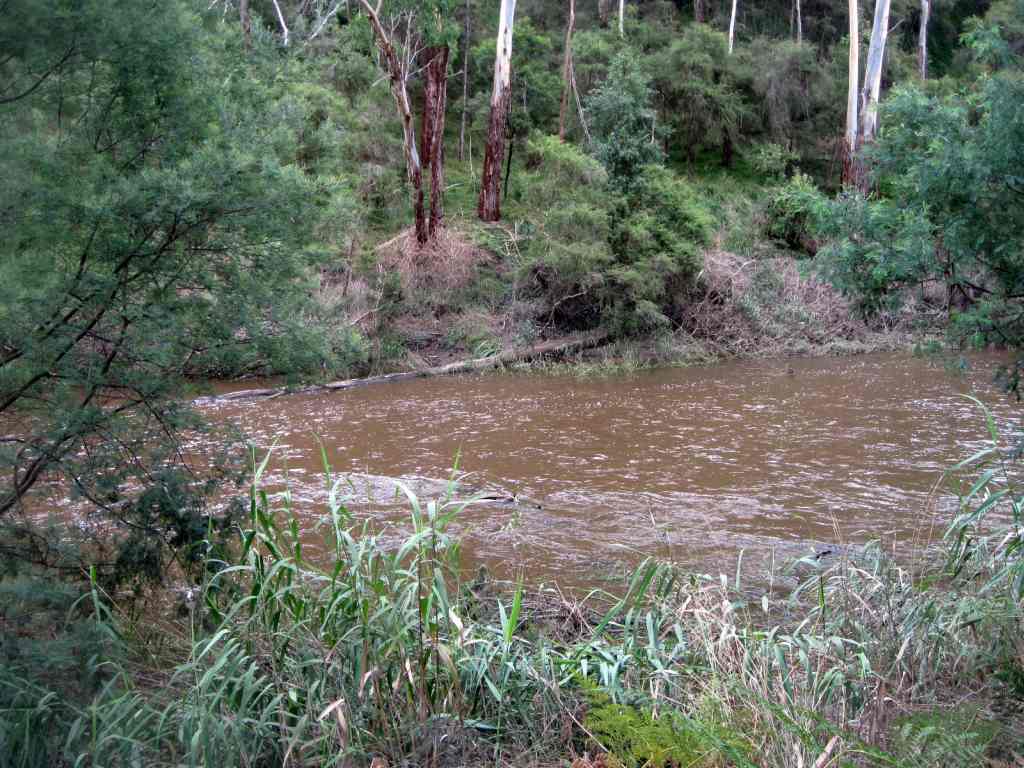
The Yarra was flowing strongly, due to the effects of recent heavy rain, and many large trees had fallen into the river.

I have included an archival image showing what the Pound Bend Picnic Ground looked like in the year 1909! The people are having a good time on a seesaw - note the small boy in the foreground, partly hiden behind a stump, with an accordeon.

See all of the Photos!

Thursday, December 02, 2010

Pigtail Gully hike, Warrandyte State Parfk


These pix were taken on Wednesday afternoon December 1, 2010 in the Warrandyte State Park, 25 km east of central Melbourne.

They show the bush, environment, scenery and flora on a 3 km circuit hike in the South Hill and Pigtail Gully area.

My route started at Boundary Track at the the junction of Webb St, then downhill, on to Pigtail Track then uphill to ths start.

The hike is in bushland, through the old goldmining region of the 1850s, with some interesting views to the north and east.|

See all of the Photos of my hike!

Friday, November 26, 2010

Warrandyte State Park - Pound Bend hike


These photos were taken on Thursday November 25, 2010, on a 3 km hike in the Pound Bend area of the Warrandyte State Park, 25 km east of central Melbourne.

See all of the Photos, which show the Yarra (flood level), the Pound Bend Walking Track, some spring wildflowers, and a resident of the Kangaroo Paddock!

Wednesday, November 24, 2010

Wildflowers in Fiddler Gully, Warrandyte SP


These pictures were taken on Monday November 22, 2010 in the old goldmining region of Fiddler Gully, Warrandyte State Park, 25 km east of central Melbourne.

My 2 km hike followed the Fiddler Gully Track, starting at the gate on unsealed Webb St.

It passed excavations and mullock heaps of the gold mining activities of the 1850s.

Late spring wildflowers were blooming, on a hot day of around 34 degrees.

See all of the Photos

Friday, November 19, 2010

Jumping Creek Hike - Warrandyte SP


These pictures were taken on Tuesday November 16, 2010, in the Jumping Creek area of the Warrandyte State Park, 25 km east of central Melhourne.

My hike was a 3 km circuit, starting at the Jumping Creek Reserve, then along the Blue Tongue Bend Track, on to the Nature Trail, and back to base along Freeland Track.

Nice views of the Yarra from the cliff tops.

See all of the Photos at Jumping Creek