Rotating Headlines from this Weblog! Click to view Post!

Rotating Headlines

Join this Weblog!

To become a Follower of this Weblog.
Click on the "Follow" link, underneath the list of current followers. You will be taken to an information panel where you may enter your personal details and other information. When completed, the title of this Weblog will appear in the Reading List on your Blogger Dashboard, and your Profile Picture will be displayed next to other Followers!

Followers to my Weblog!

Showing posts with label hermon track olinda forest. Show all posts

Wednesday, March 02, 2011

Olinda Forest Hike - first day of Autumn- March 1 2011


Photos taken on March 1, 2011, the first day of Autumn, in the Olinda Forest, Dandenong Ranges National Park, 40 km east of central Melhourne.

The scenery is on a 3 km return hike,  starting at the junction of unsealed Stonyford Rd and gated Management Rd 18, following the course of the fast-flowing Olinda Creek.

This took me into Management Rd 13, then to the old bridge over the Creek.

This is one of the best shorter hikes in this section of the Park!

See the Photos and the Video!

Monday, February 28, 2011

Lyrebrd Creek Gully - Bridge Track reopened - Olinda Forest


These photos were taken on February 22, 2011 in the Olinda Forest, 40 km east of central Melbourne.

They show the scenery on a 3 km hike through the Lyrebird Creek Gully, starting at the Eagles Nest Picnic Ground, then following Eagles Nest Rd and Bridge Track.

Bridge Track has been reopened, and signs erected at the Eagles Nest Rd and Price's Rd intersections.

See all of the Photos of my visit!

Thursday, February 24, 2011

Olinda Forest Hike in last week of Summer


These photos were taken on February 22, 2011 in the Olinda Forest, 40 km east of central Melbourne.

They show the scenery on a 3 km hike through the Lyrebird Creek Gully, starting at the Eagles Nest Picnic Ground, then following Eagles Nest Rd and Bridge Track.

See the Video and the Slide Show!

Sunday, February 20, 2011

Olinda Creek Circuit Hike - Olinda Forest


These pictures were taken on February 19, 2011 in the Olinda Forest, Dandenong Ranges National Park, 40 km east of central Melbourne.

They show the scenery and environment on a 3 km circuit hike in the Olinda Creek Gully, starting at the junction of Olinda Creek Rd and gated Management Road 13, then on to the Olinda Creek Track.

See the Video and Slideshow Photos!

Monday, February 14, 2011

Possum Track - Olinda Forest


These photos were taken on February 12, 2011, in the Olinda Forest, Dandenong Ranges National park, 40 km east of central Melbourne.

My 4 km return hike followed George's Track, from the gate on Olinda Creek Rd, then ascended to unsigned Possum Track.

Possum Track descends into the Rifle Range Gully Creek, crossing the creek, then ends at Eagle Nest Track.

The scenery was excellent, with the track passing through tall timber and fern gullies.

George's Track is shared by hikers, cyclists, and horses.

See all of the Photos! 

The Video is below!

Wednesday, February 09, 2011

Hiking in the beautiful Olinda Forest


These photos were taken on Monday February 7, 2011, in the Olinda Forest, Dandenong Ranges NP. 40 km east of central Melbourne.

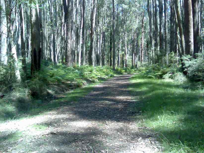
This was a 3 km circuit hike, starting at the Eagles Nest Picnic Ground, then along Eagle Nest Track, George's Track, and Hermon's Track.

The Lyrebird and Rifle Range Gully Creeks were crossed.

There were many nice bird calls in the canopy!

See all of the Photos of my visit.

Friday, February 04, 2011

Hike to Lookout Rock, Olinda Forest


These photos were taken on February 2, 2011, in the Olinda Forest, Dandenong Ranges National Park, 40 km east of central Melbourne.

They show the scenery and environment on a 4 km (return) hike along the Mathias and Golf Course Tracks, and the large granitic formations which comprise Lookout Rock.

The views from Golf Course Track across the Yarra Valley towards the Victorian Alps are spectacular.

Golf Course Track is a boundary of the very large Hamer Forest Arboretum.

See all of the Photos of my trip

The five minute Video will also be of interest! Click the embedded player below to watch it and listen to the music, from Padula Video Productions!

Sunday, January 09, 2011

The Beautiful Lyrebird Creek Gully - Olinda Forest


These pictures were taken on Saturday afternoon January 8, 2011, in the Olinda Forest, 40 km east of central Melbourne.

My 4 km return hike started at the Eagle Nest Picnic Ground, then along Hermon Track, George's Track, and back along Eagle Nest Track.

This loop followed the Lyrebird Creek Gully, which was crossed during the hike.

The day was terribly hot, 39 degrees!

Many birds live in the canopy, screeching and chirping and disturbed at my encroachment on what they believe is their territory!

See all of the Photos of my hike!

This hike is one of the best in this section of the Dandenong Ranges National Park, passing magnificent ferns through former logging forest.

Thew Eagle Nest Picnic Ground is the site of a former farm, which existed up to the 1940s, but no trace remains.