


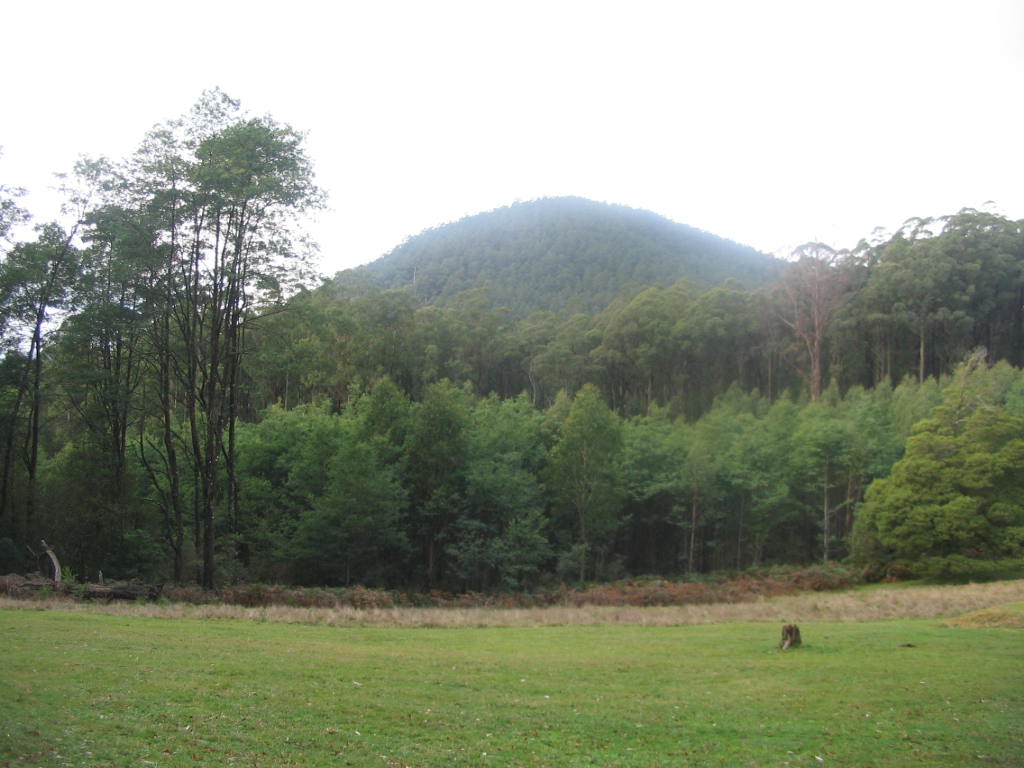
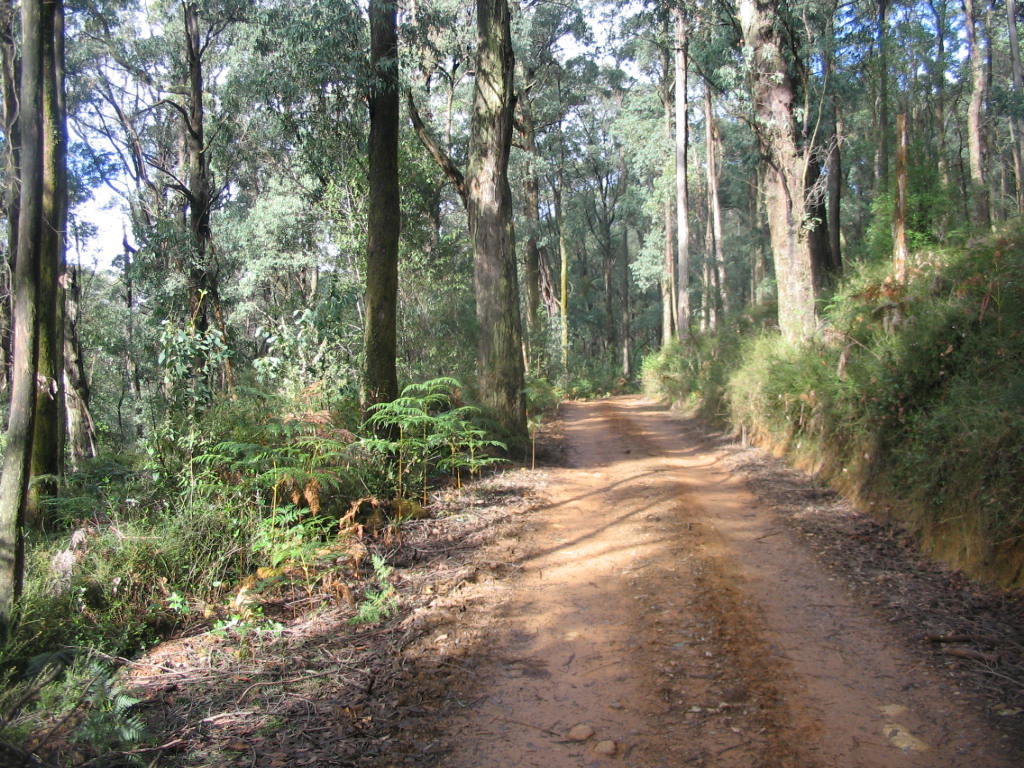
Pictures: Mt. Dom Dom, Dom Dom Track
On July 18 I drove up to the Dom Dom Saddle, at the top of Black Spur, on the Maroondah Highway, some 85 km east of Melbourne.
There are various walking tracks radiating out from the Picnic Ground, which is at 509 metres altitude.
Mt. Dom Dom itself is the conical peak to the south of the Highway - near its summit there are the remains of a light aircraft which crashed there in poor visibility some years ago. There is supposed to be a walking track up there which will be a target for the better weather!
I did sectors of the main walks, including
- The Hermitage Walking Track
- The Dom Dom Creek Walking Track
- The Dom Dom Track
- The Monda Track
On the way back to Healesville, I did a short sector of the Mt. Juliet Track, which is within the Melbourne Water Catchment Area, but walkers are permitted access. The track goes to the Summit - it's described as very hard and very steep, and several km long. I doubt whether I would want to attempt it!
The photos of this excursion are at
Hi Bob,
ReplyDeleteI have tried getting to the top of Dom Dom twice now, with no success.
The track as shown on the 25000 Vicmap has been destroyed by the loggers. Perhaps it has been burnt out now, anyway.
Bob Brown,Upwey
robert_d_brown@iprimus.com.au