


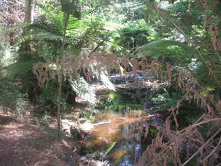
The Donnelley's Weir Picnic Ground is in a beautiful setting of tall, shady pine trees, north of the town of Healesville, 80 km east of Melbourne.
It is part of the Melbourne Water catchment area, not far from the Maroondah Reservoir, and walkers and horseriders are permitted to use the fire access and management tracks.
The Bicentennial Trail starts here, and ends at Cooktown, in the far north of Queensland!
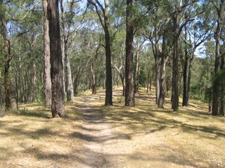
On December 6, 2006, I did a 5 km return hike up along the Mt. St. Leonard's Track, which passes up Brierly Hill. This is one of the two principal tracks which start at the Picnic Ground: the other is Condon's Track, which goes up to Mt. Monda.
It is 16 km return to Mt. St. Leonards). I have done half of this and will probably finish it off from the north soon.
The Photo Album is at
http://www.worldisround.com/articles/321055/index.html
No comments:
Post a Comment