Background
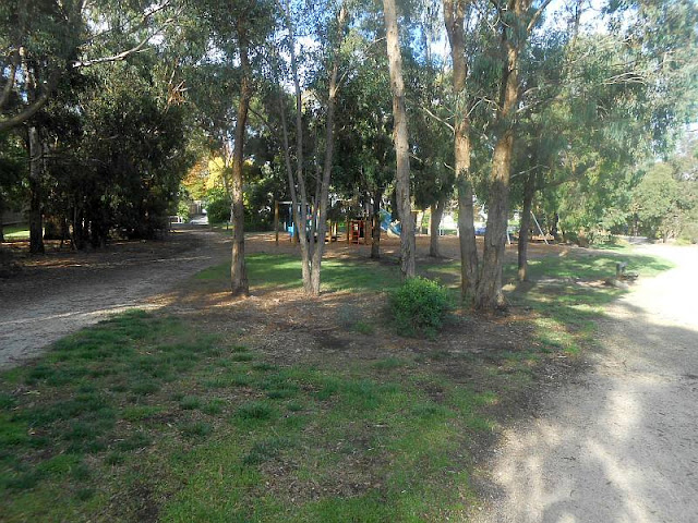
These pictures show the scenery and environment along the main walking track ihe Fulton Road Retarding Basin, Blackburn South. My 2 km walk was on April 21, 2021.
Retarding basins and wetlands play a number of important roles from providing wildlife habitat, filtering stormwater that enters our rivers and creeks while offering access to green spaces for the community.
This recreational area is very popular amongst local residents as the Wurundjeri Walking Trail surrounds the wetland perimeter.
Work by Aqua Melbourne is underway for rectification of the control structures in both the sediment pond and the wetland outlet pit. All these modifications will assist in optimising the wetland performance by reducing nitrogen levels. These works will ensure the continued reliability of this asset well into the future.
Many ducks live in the Reserve!
Work already completed includes:
- A new public access track on the eastern bank down to the water depth metering equipment
- A boardwalk acros the eastern part of the lake
- Grading and resurfacing of he main gravel shared circuit track
- Protective fencing on the south bank of the Lake
 |
Historical
Residential development along Fulton Rd started around 1956 when blocks from orchards were offered for sale by subdivision.
Landscaping and construction of pathways,and tracks took place between 1996 and 2005
Below - aerial photo of 1945 showing the land (red circle) which later became the Basin,Fulton Rd t bottom, Middleborough Rd centre The Creek is visible, crossing Middleborough Rd. (Whitehorse Digital Maps), near present day Bunnings, and entering Gardiners Creek to the west. 


No comments:
Post a Comment