Rotating Headlines from this Weblog! Click to view Post!

Rotating Headlines

Join this Weblog!

To become a Follower of this Weblog.
Click on the "Follow" link, underneath the list of current followers. You will be taken to an information panel where you may enter your personal details and other information. When completed, the title of this Weblog will appear in the Reading List on your Blogger Dashboard, and your Profile Picture will be displayed next to other Followers!

Followers to my Weblog!

Showing posts with label 1964 scout jamboree. Show all posts

Sunday, February 05, 2017

Nerre Nerre Warren Reserve - Dandenong Police Paddocks

Greenbank Avenue, cnr of Brady Rd

 Photos on a 2 km Historical Research exploration of February 4, 2017, starting at the end of Brady Rd.  This area was used for the Seventh Australian Scout Jamboree in Dec 1964-Jan 1965, attended by 16,000 scouts. The overgrown roads seen in the photos were constructed for the Jamboree in 1964, as were the power poles. The roads were asphalted, now closed off for private vehicle traffic, and now used as shared walking/jogging/cyclef/fire management  tracks.  The bushland has regrown since the Jamboree.

Remains of road surface, Greenbank Avenue, near Belair Avenue

Old water channel, now overgrown, at Greenbank Avenue. This carried waste water from the Jamboree complex to the Dandenong Creek

Remains of road surface, Greenbank Avenue, near Belair Avenue


Remains of road surface, Greenbank Avenue, near Belair Avenue

Remains of road surface, Greenbank Avenue, near Belair Avenue.

Walking Trail off Greenbank Avenue, to the Historic Lookout area

Remains of road surface, Greenbank Avenue, near Belair Avenue. In background is the site of the original Jamboree Main Assembly Arena, now used for zporting purposes.

Remains of road surface, Greenbank Avenue, near Belair Avenue

Walking Trail from Greenbank Avenue

Walking Trail from Greenbank Avenue

Road sign, cnr Greenbank Ave and Brady Rd

Start of Belair Avenue, cnr Greenbank Avenue

Power distribution, Greenbank Avene

Power distribution, Greenbank Avene

Brady Rd, showing layers of old road surfacing

Picnic Area, on site originally used for the Jamboree Shopping Area

Concrete base of old power, Picnic Area

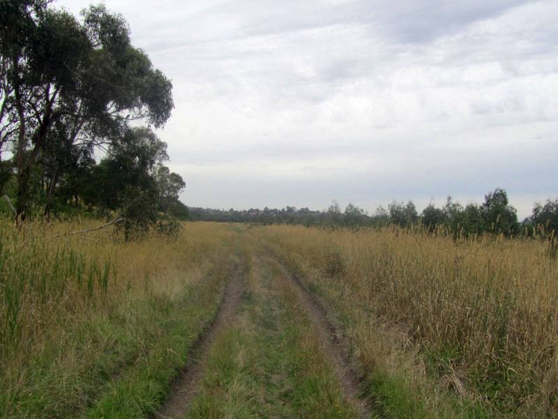
Old track, off Picnic Area  

Picnic Area

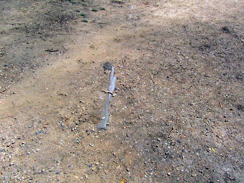
Wooden artifacts in the Picnic area

Sign on Brady Rd, near Picnic Area

Greenbank Avenue, showing part of surface of old road

On Greenbank Avenue

On Belair Avenue


Thursday, February 02, 2017

Dandenong Police Paddocks Reserve


These photos of February 1 2017 were taken on an exploration of the section of the Reserve bordering Brady Rd, off Stud Rd, in Endeavour Hills.

This area of the 990 acre Reserve was the site of the 1964-1965 World Scout Jamboree, attended by 16,000 scouts over a nine-day period.  I attended the event as a visitor. After the Jamboree concluded, known locally as "Jamboree City", management of the Jamboree site was transferred to Parks Victoria, and the paved roads built for the event became a large network of shared walking/cycling tracks, with a picnic ground on Brady Rd. All of the Jamboree's infrastructure was removed and sold at auction in January 1965.

The main gate was on Brady Rd. This originally ended at the Dandenong Creek, but was extended for the Jamboree.

Power lines and poles built for the Jamboree still exist but most are no longer connected. The names of some roads remain on the power poles.

The area adjacent to Brady Rd is now used by various sporting groups, including cricket,  softball and soccer.

Locked gates prevent unauthorised vehicle access, as the roads are also used for fire management.

Note: The author is preparing an on-line detailed Historical Pictorial Research document about the Police Paddocks Reserve, to be published soon!


Brady Rd - the main gate was at this point

Remains of the road leadng to the Main Arena

Looking towards the Main Arena, now used for cricket.

Site of Main Arena

Old waste-water channel, next to BradyRd, built for the Jamboree, which ran through the camp in a latge pipe, and ended at the Dandenong Creek. This started in the Churchill National Park, and entered the Jamboree area via a tunnel under Bradfield Rd (now known as Churchill Park Drive)

Looking along Brady Rd to the softball complex

Site of Main Arena

Remains of original road to the Main Arena

 Site of Main Arena, now a soccer field

Site of the former car park, off Brady Rd

Site of the former car park, off Brady Rd

Site of the former car park, off Brady Rd

Remains of old gate near entrance to Main Arena

Site of the former car park, off Brady Rd

Site of the former car park, off Brady Rd