Rotating Headlines from this Weblog! Click to view Post!

Rotating Headlines

Join this Weblog!

To become a Follower of this Weblog.
Click on the "Follow" link, underneath the list of current followers. You will be taken to an information panel where you may enter your personal details and other information. When completed, the title of this Weblog will appear in the Reading List on your Blogger Dashboard, and your Profile Picture will be displayed next to other Followers!

Followers to my Weblog!

Showing posts with label warrandyte state park. Show all posts

Wednesday, March 27, 2019

Fiddler Gully Track - Warrandyte State Park


A visit on March 26, 2019, starting at the small car park off Webb St. This is in the former gold-mining historical precinct.


Monday, June 08, 2015

Yarra River Kayaks, Chirnside Park


A short hike along the Yarra, from the canoe launching ramp at the end of Lower Homestead Rd, Warrandyte State Park, June 7 2015.

Kayaks in action!


Tuesday, December 30, 2014


Pix of a circuit hike in the Fifth Hill former gold mining precinct, Warrandyte State Park, Deceber 29 2014.


Thursday, July 24, 2014

Witton's Reserve

Witton's Reserve is in the Warrandyte State Park, at the end of Reserve Rd, and the main walking track to Mt Lofty starts here. 
 

The Canoe Launching Ramp is popular. Picnic tables and a small playground may be enjoyed. 
 

The Reserve is on the confluence of the Yarra River and Brushy Creek, and is an Aboriginal Heritage site.


Click here to see a Slideshow of all the pix of this visit!


Monday, November 04, 2013

Exploring Pound Bend - Warrandyte State Park


Pix of Oct 25 2013.


This was on a short hike of about 1.5 km return, starting at the Pound Bend Picnic Ground, Warrandyte SP, past the Tunnel, then westerly through the bush to a viewing point on the Yarra.


Click here to see all of the Photos of my visit!

Thursday, May 23, 2013

Warrandyte State Park.

These pix were taken on May 21, 2013, in the Warrandyte State Park.


They show the scenery and environment on a 2 km (return) hike starting at the Pound Bend picnic area, then to the Pound Bend Tunnel viewing area, and continuing through bushland to the south, adjacent to the Yarra.


Click here to see all of the Photos of my visit!

Thursday, March 21, 2013

Black Flat Circuit Trail - Warrandyte SP

These pix were taken on March 21, 2013, in the Warrandyte State Park.

They show the scenery and environment along the 3 km Black Flat Circuit Trail, passing the heritage Mullens Orchard site, the Yarra River, and the alluvial diggings area.


Click here to see all of the Photos of my visit!

Thursday, January 03, 2013

Wednesday, August 29, 2012

The Track to Blue Tongue Bend, Warrandyte State Park


These pix were taken on August 28, 2012, on the track to Blue Tongue Bend, Warrandyte State Park, 15 km east of central Melbourne.

This track starts at the Jumping Creek Picnic Ground. and offers good views of the Yarra. 

Return distance was about 2 km .

See all of the Photos!

Saturday, August 18, 2012

The Warrandyte Common in late Winter


The Warrandyte Common is a large bushland nature reserve in the southern section of the Warrandyte State Park, 25 km east of the Melbourne CBD.

It is home to a wide variety of fauna and flora, and mobs of Eastern Grey Kangaroos inhabit the cleared private land adjacent to the western perimeter.


Several well-signposted walking tracks pass through the Reserve, once a logging region.

Horseriding is popular on designated trails.


The Reserve is reached from the Ringwood-Warrandyte Rd, then along Johanson's Rd, then into Haslop's Lane. A small car park off Haslop's Lane is a starting point for the gated walking tracks.

I visited the Reserve on August 15 2012, on a 4 km hike, following the Central Track, the Bridle Track, the Firebreak Track, South Track, North Track, and Haslop's Link Track.

See all of the Photos, which show the scenery, environment, fauna and flora encountered on my excursion.

Monday, August 06, 2012

Late-wnter panoramas from Mt Lofty


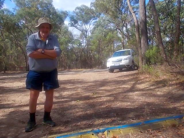
These views were taken from Mt Lofty, Warrandyte State Park, 20 km east of central Melbourne, on August 4, 2012.


They show the Upper Yarra Valley, and the Yarra Ranges, with Mts Toolebewong, Ben Cairn, Donna Buang, Monda, Juliet, Riddell, Littlejoe, Tugwell, Bride, St Leonard and Victoria prominent!


See the complete set of Photos of my visit!