


 |
Greenbank Avenue, cnr of Brady Rd |
Photos on a 2 km Historical Research exploration of February 4, 2017, starting at the end of Brady Rd. This area was used for the Seventh Australian Scout Jamboree in Dec 1964-Jan 1965, attended by 16,000 scouts. The overgrown roads seen in the photos were constructed for the Jamboree in 1964, as were the power poles. The roads were asphalted, now closed off for private vehicle traffic, and now used as shared walking/jogging/cyclef/fire management tracks. The bushland has regrown since the Jamboree.
 |
Remains of road surface, Greenbank Avenue, near Belair Avenue |
 |
Old water channel, now overgrown, at Greenbank Avenue. This carried waste water from the Jamboree complex to the Dandenong Creek |
 |
Remains of road surface, Greenbank Avenue, near Belair Avenue |
 |
Remains of road surface, Greenbank Avenue, near Belair Avenue |
 |
Remains of road surface, Greenbank Avenue, near Belair Avenue. |
 |
Walking Trail off Greenbank Avenue, to the Historic Lookout area |
 |
Remains of road surface, Greenbank Avenue, near Belair Avenue. In background is the site of the original Jamboree Main Assembly Arena, now used for zporting purposes. |
 |
Remains of road surface, Greenbank Avenue, near Belair Avenue |
 |
Walking Trail from Greenbank Avenue |
 |
Walking Trail from Greenbank Avenue |
 |
Road sign, cnr Greenbank Ave and Brady Rd |
 |
Start of Belair Avenue, cnr Greenbank Avenue |
 |
Power distribution, Greenbank Avene |
 |
Power distribution, Greenbank Avene |
 |
Brady Rd, showing layers of old road surfacing |
 |
Picnic Area, on site originally used for the Jamboree Shopping Area |
 |
Concrete base of old power, Picnic Area |
 |
Old track, off Picnic Area |
 |
Picnic Area |
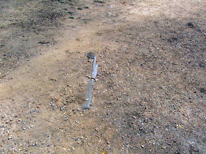 |
Wooden artifacts in the Picnic area |
 |
Sign on Brady Rd, near Picnic Area |
 |
Greenbank Avenue, showing part of surface of old road |
 |
On Greenbank Avenue |
 |
On Belair Avenue |

Howdy Bob, a big bunch of great photos here of this very interesting place, the area is looking in great condition and it is nice that they left some of the old road to be able to see! Thanks for sharing and best regards! Michael
ReplyDelete