


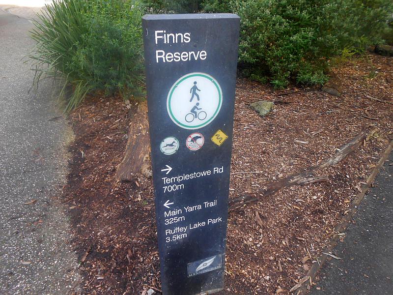
The Canoe Access Point is located on the southern bank of the Yarra, adjacent to the Finn's Reserve Picnic Area. It is in a deep-water section of the river and dates back to the late 1890s. It is reached by an unsealed pathway via a gate on the Ruffey Trail next to the main car park.
It has recently been upgraded by Melboune Water/Manningam Council by the installation of strong steel handrails, for compliance with current occupational health and safety standards.
It's purpose is primarily for canoeists and kayakers and the actual landing point is reached by large stone steps. Surviving artefacts includc an old grafitti-covered metal warning sign and a large stone block of unknown date or purpose - this may have been a foundation stone for a flying-fox or bridge.. On the opposite (Lower Plenty) bank is a further set of steps leading up from the water from a small cleared area. A rough track goes through the bushland up the hill to the Main Yarra Trail. A colored stonework retaining wall lines the edge of the access pathway.
My visit was on July 8, 2020.


 |
| (Above) Northern bank |
 |
| (Above) Northern bank with Tarzan Rope! |
 |
| Old warning signage |


 |
| Old stonework on access pathway |


No comments:
Post a Comment