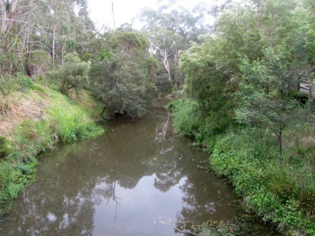
Photos of November 15, 2017. The Reserve is at the end of Reserve Rd. Manningham Council has erected photo info boards describing the indigenous heritage of the area. The lower level walking track to Mt Lofty starts here, nextg to the Canoe Launching Ramp.
Rotating Headlines
Join this Weblog!
To become a Follower of this Weblog.
Click on the "Follow" link, underneath the list of current followers. You will be taken to an information panel where you may enter your personal details and other information. When completed, the title of this Weblog will appear in the Reading List on your Blogger Dashboard, and your Profile Picture will be displayed next to other Followers!
Followers to my Weblog!
Showing posts with label wittons reserve.warrandyte sp. Show all posts
Thursday, November 16, 2017
Friday, July 19, 2013
Witton's Reserve - Wonga Park
These pix were taken on July 17, 2013 at Witton's Reserve, Warrandyte State Park.
The Reserve is on the Yarra river, at the end of Homestead Rd, Wonga Park.
This was a 2 km circuit hike, with some nice views towards the Yarra Ranges.
Melbourne High School students were practicing their canoeing!
Click here to see an album of all of the photos of my visit!
The Reserve is on the Yarra river, at the end of Homestead Rd, Wonga Park.
This was a 2 km circuit hike, with some nice views towards the Yarra Ranges.
Melbourne High School students were practicing their canoeing!
Click here to see an album of all of the photos of my visit!
Friday, June 01, 2012
Witton's Bushland Reserve - Warrandyte State Park
I visited Witton's Bushland Reserve on May 30 2012, which is adjacent to the Yarra River, in the Warrandyte State Park, some 40 km east of central Melhourne.
I did a 3 km hike in the area, along the river and then on to the firetrack around the creek, joining Reserve Rd, then back to the picnic area.
The river was in flood mode, with lots of debris passing the canoe launching ramp, which was under water.
See my Audio/visual Slideshow of the visit!
Subscribe to:
Posts (Atom)


