Rotating Headlines from this Weblog! Click to view Post!

Rotating Headlines

Join this Weblog!

To become a Follower of this Weblog.
Click on the "Follow" link, underneath the list of current followers. You will be taken to an information panel where you may enter your personal details and other information. When completed, the title of this Weblog will appear in the Reading List on your Blogger Dashboard, and your Profile Picture will be displayed next to other Followers!

Followers to my Weblog!

Showing posts with label bunyip state park. Show all posts

Sunday, May 20, 2012

Mortimer Nature Trail - Bunyip State Park

These pix were taken on May 20 3012.


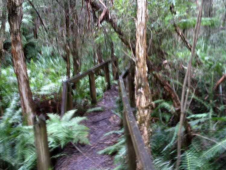
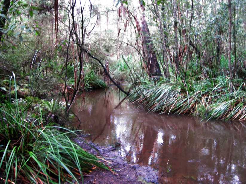
They show the scenery and environment along the 2 km Mortimer Nature Trail, Bunyip State Park, 70 km east of Melbourne.

The circuit trail started at the Gembrook-Tonimbuk Rd, snd crossed the Diamond and Wallace Creeks.

Information signs along the Track describe points of interest.

See the Slideshows, below! Animoto is an animated video, 30 secs duration.


Enjoy!


Make your own slide show at Animoto.

Tuesday, April 03, 2012

Buttongrass Nature Trail - Bunyip State Park

Pix taken on April 2, 2012, in the Buttongrass Nature Reserve, Bunyip State Park, 80 km east of Melbourne.


The 3 km circuit Trail starts on Guide Track, off Camp Road, and wanders through forest and heathland, where an extensive range of plants including hakea, wattles, tea-tree, mistletoe, swamp bush pea and button grass may be seen.


There are informative noticeboards at the start of the Trail to help identify the flora and fauna.


This tranquil path was created thanks to the efforts of the Friends of Bunyip State Park.

Near the end of the walk there is also the idyllic but mysterious Buttongrass Dam – although for anyone nervous about bunyip legends, they may prefer to keep their distance!


Deer inhabit the Reserve, and should not be confused with the bunyips!

The reserve, fauna, flora and infrastructure were severely damaged in the disastrous Bunyip Ridge fires of February 2009, and there has been amazing regeneration and regrowth.


Some blackened trail markers remain, as stark testimony to the intensity of the fires.


See the complete set of Photos of my visit, and the YouTube video.

Sunday, February 12, 2012

Tonimbuk Bridle Trail - Bunyip State Park

These photos were taken on February 11, 2012, in the Bunyip State Park, 80 km east of Melbourne.

They show the scenery and flora on a 4 km (return) hike along the signed Tonimbuk Bridle Trail, starting at the Tynong North-Gembrook Rd.

The Trail is shared with walkers, horses, and cyclists and follows the Diamond Creek, which it crosses on small bridges on several occasions.

The trail passes through the Mortimer Picnic Ground, once the site of the Mortimer Timber Mill in years gone by.

The Trail was once a logging route.

See all of the Photos of my visit, and check out my YouTube video!

Tuesday, June 21, 2011

Exploring Tonimbuk - Bunyip State Park


These pix were taken on June 20, 2011 in the Bunyip State Park and adjacent forest, 65 km east of Melbourne.

They show the scenery and environment on a circuit route which took me from the Prince's Freeway through Tynong North, then to the tiny settlement of Tonimbuk and back to the Freeway.

The rusting remains of an old charcoal kiln were inspected off Tonimbuk Rd, and the nearby disused Aqueduct was explored.

This open aqueduct once carried water into Gippsland farms fom the Bunyip Weir, high up on the slopes of the Blue Range, but access is prohibited, being controlled by Melbourne Water.

There were good views of the various Ranges which comprise the Bunyip State Park.

There was a stop at the bridge where the Diamond Creek crosses the Tonimbuk Rd.

Bunyips are very shy creatures, but one was seen approaching the Tonimbuk Rd!

See al of the Photos of this adventure!

Wednesday, June 15, 2011

Freerman's Mill Walking Track - Bunyip State Park


These pix were taken on June 14 2011 in the North Labertouche area, central Gippsland, 100 km east of Melbourne.

My journey started at the Monash Freeway opposite the turnoff to Bunyip, then along the Labertouche North Rd to the Bunyip River Road.

Leaving the car under the high-voltage power lines I joined the Freeman's Mill Walking Track, passing through the gate and on the newly constructed concrete bridge over the Bunyip River.

I followed the Track for about 1 km then returned.

The site of the old Mill is about 6 km further on at the disused Bunyip Weir, deep in the forest, on the slopes of the Bunyip Ridge.

Freemans Mill was established in 1911 and continued until it and the surrounding forest were destroyed by fires that swept through the area in 1926. The settlement was said to have included six four roomed houses, a similar number of huts, a store, boarding house, a school and an eight roomed cottage occupied by the Freeman family.

A timber tramway linked the Mill with the Bunyip River.

After the destruction of the mill the then State Rivers and Water Supply Commission constructed a weir at the site together with a system of open aqueducts and piped siphons to divert water from the Bunyip River to the Lysterfield Reservoir, then being built to serve the Mornington Peninsula.

The Aqueduct Track runs beside the aqueduct and provides pleasant walking on an even gradient through the regenerating forest back to the starting point at the Bunyip River.

The new concrete bridge over the Bunyip River was completed in 2010, replacing a wooden structure which was destroyed in the bushfires of 2009.

These fires also ravaged the forest around the mill area, and there has been extensive regrowth.

It had been proposed that a new long walking route be constructed from the Bunyip Weir north through the Yarra State Forest to the Seven Acre Rock reserve near Powelltown, but the 2009 fires virtually destroyed this area, on the Bunyip Ridge.

Sunday, May 08, 2011

Russell's Sawmill - Bunyip State Park


These pictures ere taken on Saturday May 7, 2011, in the Bunyip State Park, 70 km east of Melbourne.

They show the scenery and environment along the Ash Landing Rd, reached from a turnoff at the Black Snake Creek picnic ground, off Black Snake Creek Rd.

Ash Landing Rd derives its name from the logging era, when huge Mountain Ash trees were cut down and hauled by a steam driven tramway from a sawmill to a "landing" on the present-day Black Snake Creek Rd.

This sawmill was one of several operated by Bill Russell in the 1920s and 1930s - his company was the most important sawmill enterprise in the district.

No trace of the tramway remains - the Ash Landing Rd follows the alignment.

The sawmill site is just off Ash Landing Rd, next to Russell's Creek, but is now overgrown and a large water-point/dam covers it.

See all of the Photos of my visit!

Tuesday, April 26, 2011

Tonimbuk - West Gippsland


These pictures were taken on April 25, 2011.

They show the scenery and countryside on a trip in the Tonimbuk area, 70 km east of Melbourne, in West Gippdland.

My journey was along the Monash Freeway, then on to the Tonimbuk-Gembrook Rd, through the Bunyip State Park, on to the Tynong North-Gembrook Rd, and back to the Monash Freeway.

There was a short hike between Steering Wheel Track and the junction of the Diamond Creek, then a stop to inspect the historical Charcoal Kiln.

There was also a visit to the old aqueduct near the Tonimbuk Rd.

Really excellent views to the Black Snake Range, and across the Park.

A drama on the Tynong North Rd, where a mob of kangas decided to hop along the road, for about 500 m - at least they kept in the left lane! These animals have problems in hopping along sealed roads, as there is no grip for their claws and they keep falling over!

See all of the Photos of my visit!

Monday, August 30, 2010

Exploring Steering Wheel Spur, Bunyip Stste Park (Tonimbuk)


On Sunday August 29, 2010, I explored the Steering Wheel Spur, Bunyip State Park, in the Black Snake Range.

From the gate just off the Tonimbuk to Genmbrook Rd, my hike took me up the Steering Wheel Spur fireline track to the top of the Black Snake Ridge, to Burgess Track,and returned the same way, about 4 km total.

This track is the most westerly of several former logging routes starting at the Black Snake Range Ridge and ending at the Diamond Creek valley.

The first section of the Track is relatively flat, along the Diamond Creek Gully, but soon becomes a very steep slog in the mud, with an elevation change from 124 m to 301 m.

This track is listed by Parks Vic as "Category 5D MWB - dry weather, earthern track formed from natural materials"

Near the top, the track divides, with the main route ascending an almost vertical gradient (!) and an easier walking route which follows a series of S-bends.

The Track is also used by horseriders, and a loop known locally as the Bridle Track continues easterly along the ridge-line, eventually reaching the Gembrook-Tonimbuk Rd adjacent to private property.

This track is through former logging country, an area subject to many bushfires. There are limited views from the top.

There is a Melbourne Water Aqueduct running from the Bunyip River Weir through the Park, and public access is not permitted. This is part of the Drouin Water Catchment Area, and starts outside the northern boundary of the Park in the Yarra State Forest, near the Bunyip Ridge, an area which was devastated by the February 2009 bushfires.

The Bunyip SP Management Plan suggests that the Aqueduct Maintenance Road be opened up for use by walkers.

It ends at Jolley Rd.

Another Melbourne Aqueduct may be seen at the junction of the Gembrook-Tonimbuk Rd and Topp Rd, where it disappears into an undergound syphon for some 750 m, and emerges again at the foothills of nearby Mt Cannibal. This Aqueduct once carried water from the Tarago Catchment to the former Beaconsfield Reservoir.

See all of the Photos of this exploration!

Tuesday, August 24, 2010

Rocky Ridge Fireline Track, Bunyip State Park


Rocky Ridge Fireline Track is in the Black Snake Range, Bunyip State Park, about 65 km east of Melbourne.

It links the Black Snake Creek Rd with Williams Ridge Track, and starts at a gate about 2 km from White's Corner, at the junction of the Pack Track and Beenak East Rd.

The 3 km (return) track is very steep, and muddy after heavy rain, with an elevation increase from 249m to 354m, one of the highest points in the Park.

There are limited views to the Blue Range from a drainage cut-back at about 300m altitude.

The Black Snake Range is the centre range in the Park - to the south is the Weatherhead Range, to the north is the Blue Range.

Of Regional significance, it is an east-west divide consisting of Tynong Granite. The range rises to 400 m where there are numerous exposed granite slopes and large boulders. A granite downwash covers the lower slopes, and granite sand wash has partially filled minor valleys, creating swamps and heathland.

I explored this Track on Monday afternoon August 23, 2010.

See all of the Photos of this hike!

Wednesday, August 18, 2010

Bunyip State Park - Dawson Fireline Hike


Dawson's Fireline Track is in the southwest section of the Bunyip State Park, anout 65 km east of Melbourne.

It is a former logging track, now used for fire management, accessible to walkers, horses, and bicycles.

It is gated, and links the Gembrook-Tonimbuk Rd with Cannibal Creek Track, with an elevation change from 159m to 208m.

It follows the Dawson's Ridge and is about 4 km return.

I explored this interesting track on Tuesday afternoon August 17, 2010, starting at the northern gate, climbing steadily to the junction with Cannibal Creek Track at the ridge summit.

The area has been subject to severe bushfire impact on several occasions, and the forest is now largely regrowth.

Late-winter wildflowers were blooming, including Acacia and Banksias.

Parts of the track were very muddy, after the recent heavy rain.

There were some interesting views from Cannibal Creek Track across the Park to the Black Snake Range.

See all of my Photos of this trip!

Sunday, August 15, 2010

Pyramid Rock, Bunyip State Park


On Saturday afternoon August 14, 2010, I went out to the Bunyip State Park, 65 km east of Melbourne.

I visited the remarkable Pyramid Rock, high up in the southwest section of the Park.

It is reached from the Tynong North to Gembrook Rd, then up Pooley Rd (a steep rutted dry-weather 4WD road) to the southern end of gated Sandpit Ridge Track.

Then, a 4 km return hike up Sandpit Ridge Track, reaching the unsigned Pyramid Rock foot-track. This led up to the summit of the Ridge, where Pyramid Rock stood like a sentinel!

This granite rock is about 3 m high, and is surrounded by many other smaller rocks.

There are excellent views from the base of the Rock, north across the Park and the Cannibal Creek Gully to the Black Snake Range.

After exploring the Rock and, I continued along Sandpit Ridge Track to my turnabout point at the junction of Cannibal Creek Track.

The area off Pooley Rd was originally used for sand extraction. It is now fenced off for environmental protection. The remains of old sand pits may be found across the Park, now undergoing revegetation by Parks Victoria.

Millions of years ago, much of the Park was under the sea - the sandy ridges are remnants of those times.

This hike was excellent, with glorious views from various vantage points along the ridge line.

There was an increase in elevation from 219m to 276m.

This forest was logged in the early days and has been ravaged by bushfires on several occasions.

See all of the Photos of my visit!

Thursday, July 29, 2010

Weatherhead Hill Walking Track, Bunyip Stste Park

View from Track to Westernport Bay

The Big Rock

Grass Trees

TheTrack near the mill site
These pictures were taken on Wednesday afternoon, July 28, 2010, in the Weatherhead Forest Section of the Bunyip State Park, 70 km east of Melbourne.

This Forest is adjacent to the southern boundary of the Park, next to large farming properties, and is the southernmost ridge.

It is reached from the Tynong North to Gembrook Rd, then up Weatherhead Rd, arriving at the start of the unsigned Weatherhead Hill Walking Track.

I followed this Track through tall forest, reaching the site of the former Weatherhead mill in a gully.

This was my turnaround point, as the track then became impassable, due to fallen trees and dense invading vegetation.

Nothing is left of the mill, apart from an old sawdust heap, almost impossible to detect.

The mill site is located next to an old creek (now dry).

This forest was heavily logged from the 1880s. The name Weatherhead derives from that of a woodcutting family (Horatio Weatherhead and his sons), who moved into the area in 1908. The trees were sawn at the mill, and taken by tramway to the railway siding at Tynong, about 10 km to the south.

Horatio had a license to mill 2,000 acres of forest and he and his sons operated various Mills from 1909 onwards.

It is known that the mill was still operating as late as 1929.

The Forest was devasted by serious bushfires on many occasions, the worst being in 1939, 1961, and 1983. After the 1939, the Victorian Government required all remaining mills to be moved outside of the forest catchment areas.

Logging in the Weatherhead Forest area ceased in 1990, and it was amalgamated into the newly proclaimed Bunyip State Park in 1992.

See all of the Photos of my 4 km hike!

Monday, March 15, 2010

Tree Fern Walking Track - Bunyip State Park


One of the best shorter walks in the western section of the Bunyip State Park would be Fern Tree Track.

This is deep in the Park, in the Black Snake Range, and runs between Nichol Hut Tk and gated Link Rd.


It follows a creek gully, with beautiful green tree ferns, some of which overhang the trail.


The Nicol Hut Walking Track starts at Triangle Rd, just north of the Gembrook-Tonimbuk Rd, and the turnoff for Fern Track is about 1 km further on.


There is space for car parking at Triangle Rd.


Nichol Hut Track was originally a fireline park management track, which continues to Burgess Tk, near the Four Brothers Rock formation.

The area is thick regrowth bushland, heavily logged until the late 1980s. The walking distance was about 4 km. The tracks are well signposted and are shown on Rooftops Gembrook map, and in the Parks Victoria map of the Bunyip State Park.

Tree Fern Track may also be reached from the Mortimer Picnic Ground car park, following gated Triangle Track.


This is one walk which should not be missed!


See all of the Photos of this trip!